
How To Read an INSPIRE Report
(This article was published in the n°117 of the Géomatique Expert revue, July-August 2017, which was distributed during the INSPIRE 2017 conference)
European law requires Member states to fulfil a number of tasks. Amongst them, every year the French authorities report on the implementation of the INSPIRE directive, in a format itself normalised. Like all European regulations, this requirement was voted by the Member states. Let’s add that France, for this once, voted against the Commission. But France implements it, of course.
The task itself consists in sending to the Commission a bunch of unpalatable figures, based on an extraction of the data series available on the Geocatalogue. The exact process is described here (in French).
While the CNIG formally authors every yearly report, as a matter of fact it is not consulted, because the BRGM carries on the automatic process. On the contrary, the more verbose triennial report is handed to the CNIG for approval. The last example is available here (in French).
Besides, the majority of those figures are meaningless or irrelevant. For instance, the “number of hits” is supposed to reflect the use of network services. In France, we ask the data producers, on a voluntary basis, to report the number of requests per web service. The “turnout” varies greatly from year to year, and unexpected eightfold increases in some figures allude to the taking into account of ortho-images tiles downloads.
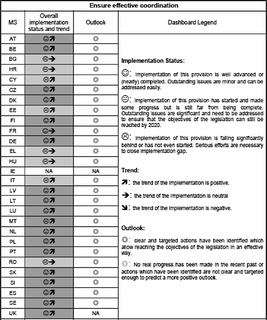
Finally, those quantitative figures are almost useless! First because every sensible user will prefer to read qualitative data. And then because it is nearly impossible to compare each state with its peers. Why? Because each state is responsible for its own definition of what ‘data’ means. Thus, we tally, but we don’t know what we tally.
Ahem. So, is everything done in vain?
Of course not.
First and foremost because only the trend is meaningful. Then, because some data are useful per se.
Releasing the number of available metadata has coaxed State agencies and local governments into becoming more involved. Publishing the number of downloadable assets is meaningful, whether it be in terms of service offered to the end users, or to estimate the current implementation of the directive.
Finally, in a world where interoperability and platform valorisation are paramount, data compliance – to INSPIRE, but also to the various COVADIS or CNIG standards – has a growing impact. We still have a long way to go, since
the “Compliance 1” metadata field rarely refers to the reference specification. It is a pity, for this figure is probably closer to 30% than to 3%, as declared.
Let’s disclose that, following further discussions, the figures which cannot be directly inferred from the metadata will henceforth be discarded.
Is France a leader of INSPIRE implementation?
 That’s a recurring question, and the answer is certainly yes. 65% of our data are reachable through a consultation service, and 71% are downloadable. This put us
far ahead the European average, at 55% and 40% respectively. In France, 60% of the data are reachable through both services. We consider this figure to be unsatisfactory, yet the European average is only 39%. According to us, and we report this at the European level, the enthusiasm of the French geomatics community really paved the way for this success. It is even more obvious when one studies the availability of data listed in the Annex III.
To sum up, the report reflects what European construction sometimes looks like: a pure, technocratic gem, which hides some true successes, serving, in our case, mainly public authorities and, more and more, entreprises or mere individuals. At
that we should add (and we own up to it) egregious pedagogic weaknesses. I would like to thank Geomatique Expert to offer us the opportunity to enlighten the readers on what Europe perceives of their work.